
Sources for Vestavia Hills Neighbors
A block lookup should answer a narrow question: which parcels touch an address, who is indexed as owner, what public civic contacts exist, and which dated sources add historic context. Jefferson County covers most Vestavia Hills neighborhoods. Shelby County covers Liberty Park and other southeastern land. Select the county from the parcel map before looking for neighbors, because each county has its own owner roll, GIS tools, probate index, and voter custodian.
| Block source | What it shows nearby | Public access |
|---|---|---|
| Shelby County GIS | Parcel shapes, indexed owners, selections, deed links | Free interactive map and CSV export |
| Jefferson GIS and CAP | Adjacent parcels, owner index, situs and mailing fields | Free map and property search |
| Alabama voter file | Released registration and address fields | Paid official request with exclusions |
| BPL street directories | Historical occupants arranged by address where available | In-library directory volumes |
| City public notices | Owner or applicant tied to a parcel proceeding | Public notice page or records request |
| Community pages | Published officers and organization contacts | Voluntary public listings only |
Owner, occupant, voter, and organization contact are different roles. A parcel map omits renters, minors, many other household members, and anyone whose information is protected. A Chamber or civic listing reflects a published affiliation, not a home roster.
Buffer Liberty Park Neighbor Parcels
Shelby County GIS offers the most detailed documented block method for Vestavia Hills neighbors. Search an address, owner, or parcel. Then select adjacent parcels one at a time, draw a polygon around the block, or use a buffer around the target. A buffer is a measured zone around a point or shape. The map's default example distance is 100 feet, but the right distance depends on the block layout and should not be treated as a legal boundary.
With Buffer Graphic enabled, the buffer appears blue and selected parcels appear red. Results populate in a table and can be exported as CSV. The viewer can add to or remove from a selection, restrict work to the current extent, and flash or zoom to a result. A small residential block stays well below the 1,000-result cap. Larger selections should be split into clear segments.
- Find the target address and verify its Shelby parcel number.
- Choose a point, line, extent, circle, polygon, or freehand selection.
- Apply a short buffer or click only the adjoining parcel shapes.
- Review each result, then export the selected parcel rows.
- Open deed links only when a party or legal description needs confirmation.
Selected names remain owner-index data. The export does not become a Vestavia Hills residents list merely because the parcels share a block.
Confirm Jefferson County Neighbors
On the Jefferson side, begin with the county parcel map and click adjoining lots visually. The exact current buffer labels were not captured in the research, so avoid assuming Shelby's controls exist there. Confirm every map label in Jefferson County Citizen Access, which can search by owner name, parcel number, mailing address, property address, and tax year.
Jefferson Enterprise GIS uses a nightly static parcel layer. Boundaries come from the Tax Assessor, ownership comes from the Board of Equalization, and addresses come from Development Services. A correction can therefore lag or belong to a different office. The public GIS service caps a query at 2,000 results, though an immediate block should be far smaller.
Compare the property address, or situs, with the owner mailing address. A match may support owner occupancy. A mismatch may suggest that tax mail goes elsewhere. Neither proves who sleeps at the home, and homestead coding is not a complete household directory. For a whole named road instead of one block, use the Vestavia Hills street directory process.
Note: Treat the GIS layer as block context and confirm each indexed owner in the county tax record before drawing a conclusion.
Read Vestavia Hills Voter Blocks
Alabama's self-service voter lookup confirms an individual's registration and polling facts from identifying inputs. It does not browse Vestavia Hills neighbors by street. Block-level analysis requires the official Voter List Request Form and a lawful paid release. The form can request residence and mailing addresses, active or inactive status, registration date, last election or participation history, and municipal or precinct fields.
Electronic data costs $0.01 per voter under Ala. Code §17-4-38. Paper output costs $1 per page, with a separate paper certification fee. The file excludes Social Security numbers, driver-license numbers, nonrelease contact fields, and protected-voter information. Qualifying domestic-violence victims or guardians and specified officials may file confidentiality affirmations.
Alabama has no party-registration field. Election history shows that a person participated, never how a ballot was marked. Registration can also become inactive during address confirmation. These limits make voter data a dated civic source, not proof of everyone at an address.
Find Vestavia Hills Community Contacts
The public Vestavia Hills Chamber directory supports keyword, category, location, and alphabetical browsing. Its captured listing screen provides a community layer for organizations, public contacts, religious groups, civic clubs, and other members.
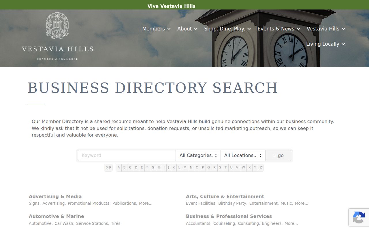
The Chamber roster is voluntary and includes organizations as well as people. Use it to identify a published contact or joining route, not to infer that every member lives near a target block.
The Library in the Forest public listing gives a local contact point for historical and community research.
Library reference staff can route historical questions to the Historical Room and local collections. They do not release private library-use records, which Alabama law protects.
Library in the Forest
1221 Montgomery Highway
Adult Reference
205-978-4678
Historical Room and local research
Vestavia Historical Society
Works with the Historical Room
Public research contact
vhHistoricalSociety@gmail.com
Local maps, clippings, and archive questions
Vestavia Hills City Clerk
1032 Montgomery Highway
Public notices and annexation files
205-978-0131
Weekdays, 8 a.m. to 5 p.m.
Map Vestavia Hills Adjacent Parcels
A clean adjacent-parcel workflow moves from geometry to source records. Start from one verified address. Mark only lots that touch it or fit a clearly defined block. Open each parcel result and record its parcel number, indexed owner, situs, mailing address, subdivision, and deed reference when shown. Then verify title parties through the correct probate office only if the question calls for it.
The useful flow is short:
- Address to county boundary and parcel map.
- Target parcel to adjoining shapes.
- Adjoining shapes to parcel identifiers and indexed owners.
- Owner roll to deed citation or public notice when needed.
- Official result to a limited statement about what that record shows.
City zoning adds district and annexation context but is provided as is and is not certification. An unshaded parcel needs Planning or GIS confirmation. A city public notice may identify an owner or applicant in rezoning or annexation, yet it still does not establish every Vestavia Hills neighbor at that property.
Trace Historical Vestavia Hills Neighbors
Past neighbors require sources arranged by time as well as place. Birmingham Public Library's Southern History collection holds Birmingham city directories from 1883 to the present, with four no-publication years. Where a volume includes a street or reverse section, browse the address range around the target number. A criss-cross directory is arranged by street and number, making it more useful for a block than a surname-only index.
Check one or two directory years on each side of the target date. Pair the names with the nearest public federal census, an obituary index, probate records, and deed parties. A missing entry can mean a move, death, nonresponse, changed household head, or publication boundary. It should not be read as proof that someone left the block.
Annexation changes the search label. Rocky Ridge and Altadena addresses may use older pre-annexation names. Liberty Park work should test Shelby County even when the mail says Birmingham. Cahaba Heights joined Vestavia Hills in 2002, so earlier sources may file that place under its own name. Keep the street number and legal subdivision steady across those changes.
Compare Vestavia Hills Neighbor Tools
Official sources and commercial neighbor tools serve different purposes. An official parcel roll states the indexed owner and tax fields held by the county. A deed index states the named party, role, filing date, and citation. A released voter file has defined statutory fields. Commercial compilations combine public and private inputs, can merge namesakes, may lag corrections, and do not become authoritative by repeating the same address.
| Source type | Best evidence | Key caution |
|---|---|---|
| County GIS | Parcel location and nearby geometry | Map labels may refresh after source systems |
| County property roll | Indexed owner, situs, mailing address | Does not list a household |
| Probate index | Recorded party, role, date, legal parcel | Index hit does not prove current title or residence |
| Public community page | Published officer or contact | Private member rosters stay private |
| Commercial compilation | Possible lead for checking | May be stale, paid, or wrongly merged |
Start with the record created closest to the fact. Keep a source date and parcel identifier. If two sources disagree, ask the office responsible for the disputed field rather than selecting the result that looks most convenient.
Protect Vestavia Hills Neighbor Privacy
Parcel maps necessarily miss many Vestavia Hills neighbors. Renters, children, relatives, guests, and other household members may never appear. Utilities and delivery accounts are not substitute public rolls. Motor-vehicle addresses are restricted by federal law. Courts seal or redact protected material, and voter releases withhold specified information. A private association's roster does not become public because its officers publish a contact page.
If an owner or address seems wrong, report the issue to the source office. Jefferson map boundaries, ownership, and addressing come from different custodians. A suspected offender-registry address error should go to law enforcement, not to the person at the address. Public availability does not authorize confrontation or surveillance.
Lawful use. Use Vestavia Hills neighbor records for civic curiosity, reconnecting, block history, and personal safety. Alabama law forbids stalking, threats, harassment, and harmful misuse.
Note: A block search should end with a limited record-based statement, never a claim that every nearby resident has been identified.