
Vestavia Hills ZIP Coverage
Seven Census ZIP Code Tabulation Areas, or ZCTAs, touch the Vestavia Hills city boundary. ZCTAs are Census approximations of postal delivery areas, not exact USPS routes. Three codes describe the main core, Cahaba Heights, and Liberty Park areas. Four others meet only small city edges and primarily serve nearby communities. The ZIP code directory therefore starts with the relationship, not with an assumption that the whole code lies inside Vestavia Hills.
| ZIP | Areas Covered | Post Office | Notes |
|---|---|---|---|
| 35216 | US-31 core, City Hall, and several schools | Vestavia Hills, 745 Montgomery Highway | Also includes territory outside city limits |
| 35243 | Cahaba Heights and eastern Vestavia Hills | Cahaba Heights, 3105 Sunview Drive | Postal city often shown as Vestavia |
| 35242 | Liberty Park and eastern Vestavia Hills | Meadowbrook, 1900 Corporate Drive | Uses Birmingham; large area lies outside the city |
| 35209 | Small city-edge intersection | Green Springs and Homewood service | Primarily outside Vestavia Hills |
| 35210 | Small eastern intersection | Irondale service | Primarily outside Vestavia Hills |
| 35223 | Small northern or eastern intersection | Mountain Brook service | Primarily outside Vestavia Hills |
| 35226 | Small west or southwest intersection | Bluff Park and Birmingham context | Primarily outside Vestavia Hills |
No Vestavia-specific PO-box-only or unique institutional ZIP was verified. That negative finding prevents a common mistake: none of the seven should be labeled as a special-purpose code without direct USPS evidence.
Vestavia Hills ZIP 35216
Code 35216 is the principal postal geography for the US-31 core. City Hall and several schools use it, and the Vestavia Hills Post Office is at 745 Montgomery Highway. Still, the code extends outside the legal city. A 35216 result narrows a location but cannot decide whether City Hall, Jefferson County, or another municipality keeps the needed record.
Confirm the street address before using the ZIP code directory as a records filter. Jefferson County GIS can show the municipal layer and parcel. A tax or deed search should then use the physical property address or parcel number, not just 35216. This order avoids mixing residents and parcels from the same postal code but different legal jurisdictions.
Vestavia Hills Eastern ZIP Codes
Cahaba Heights commonly uses 35243, where the postal city may appear as Vestavia. Liberty Park commonly uses 35242, even though the postal label says Birmingham. Both are valid local clues. Neither label alone determines the county. Vestavia Hills crosses Jefferson and Shelby counties, with southeastern and Liberty Park territory extending into Shelby.
This difference changes the records route. The city issues permits across its city limits, including the Shelby portion. Deeds, property tax, probate, and many court files remain county records. A 35242 address must be placed on the parcel map before choosing Jefferson County LandmarkWeb or Shelby County Probate records. The postal name is not the custodian key.
Vestavia Hills ZIP Edge Cases
The remaining four ZCTAs touch only limited portions of Vestavia Hills. Codes 35209, 35210, 35223, and 35226 are mainly associated with Homewood or Green Springs, Irondale, Mountain Brook, and Bluff Park or Birmingham. They belong in a complete ZIP code directory because the Census place intersections show contact with the city. They should not be presented as citywide postal areas.
Edge codes are most useful as alerts. They tell a researcher to verify the legal boundary and county before opening an index. A household can share a ZIP with addresses governed by a different city. Parcel GIS, city zoning material, and annexation records can settle that question. The 2015 Chamber map warns that later annexations may be absent, so even a local street map is not a parcel-jurisdiction substitute.
Find Vestavia Hills Residents by ZIP
Official portals do not offer one verified, public, ZIP-wide resident search. Jefferson CAP exposes owner name, parcel number, mailing address, property address, and tax year, but research did not confirm a dedicated ZIP filter. Shelby GIS supports spatial selection, though a ZIP filter was not confirmed there either. Alabama's paid voter-file request can specify a city or district and deliver address fields for lawful sorting. The public voter self-lookup cannot browse a ZIP.
- Verify the complete address through the USPS ZIP Code Lookup.
- Place the address in Jefferson or Shelby GIS and confirm the city and county.
- Search the correct property roll by property address, then preserve the parcel number.
- Use an authorized voter-file extract only within its governing rules and never treat registration as proof of current occupancy.
- Once a code narrows to a road, use the Vestavia Hills street directory for street-level records.
This sequence moves from postal fact to legal geography and then to the correct record. It also prevents a mailing address from being mistaken for a property address. Jefferson CAP treats those as separate fields because an owner's correspondence address can differ from the parcel's physical location.
The voter-file route is a request, not an open map. Its form allows county, city, or district scope and may include full name, status, residence address, mailing address when available, registration date, and district fields. Electronic delivery costs one cent per voter under Alabama law. Protected data stays withheld, and participation history shows elections voted rather than ballot choices. Delivery may be by mail, email, or pickup in paper, spreadsheet, or tab-delimited form.
Map Vestavia Hills ZIP Geography
County GIS is the practical bridge between a postal answer and a records office. Jefferson's Enterprise GIS hub launches Parcel, Municipality, Zoning, and Flood Zone lookups. Its public parcel service is a nightly static layer. Parcel boundaries come from the Tax Assessor, ownership from the Board of Equalization, and addressing from Development Services. Those update paths explain why a correction may not appear at once.
The Jefferson County Enterprise GIS provides the municipality and parcel context needed for a Vestavia Hills ZIP code lookup.
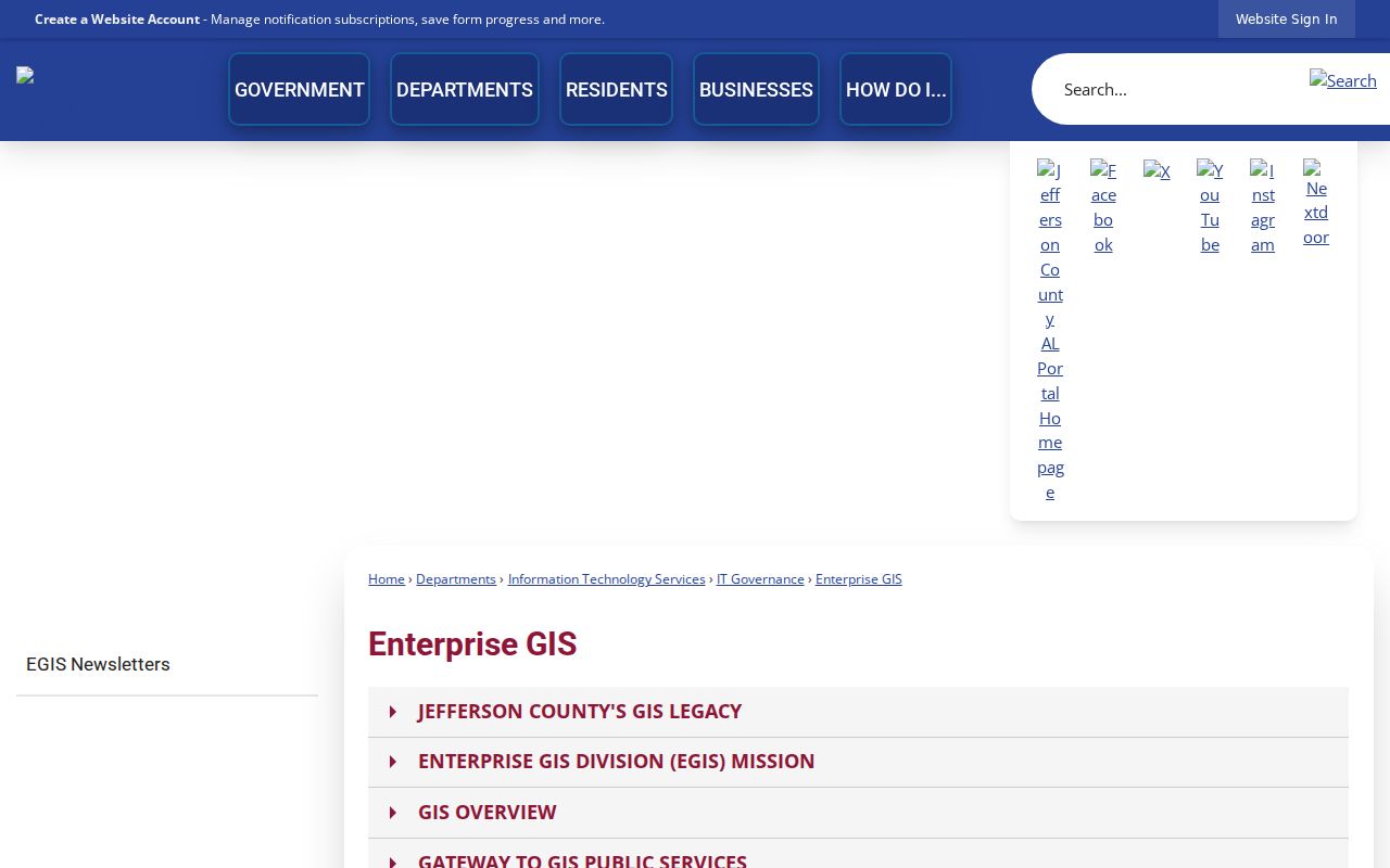
The map is a locator, not a live title opinion. Verify an owner in the tax record and a land transfer in probate. Shelby GIS should be used when the parcel falls in the city's southeastern territory; its results can preserve lot, block, subdivision, map book, acreage, municipality, parent parcel, and instrument context.
Vestavia Hills ZIPs Versus Limits
ZIP routes, Census ZCTAs, municipal limits, and county lines serve different purposes. USPS sorts mail. Census creates an approximate statistical geography. Vestavia Hills governs land inside its legal boundary. Jefferson and Shelby counties keep many property, probate, and court records. A Birmingham postal label can therefore be inside Vestavia Hills, and a Vestavia Hills label can extend beyond the city.
- ZIP code
- A USPS delivery code tied to mail routing, not a municipal boundary.
- ZIP+4
- The basic ZIP plus four digits that narrow delivery to a smaller segment or group.
- PO-box ZIP
- A code reserved for post-office boxes. None specific to Vestavia Hills was verified.
- Unique ZIP
- A code assigned to one large recipient. No Vestavia-specific example was found.
- Carrier route
- A mail-delivery path within a ZIP. It is not the same as a neighborhood or precinct.
Annexations make the distinction visible. Rocky Ridge and Altadena joined during the 1980s, Liberty Park in 1992, and Cahaba Heights in 2002. Older records may retain an earlier jurisdiction or subdivision label even though current mail uses a familiar ZIP.
Current annexation rules provide another check. A parcel must be contiguous, unincorporated, and in Jefferson or Shelby County to enter Vestavia Hills; land already inside another city is not eligible. The city workflow uses an owner affidavit, drawings, a clerk-entered address, and review by planning, engineering, the fire marshal, and the school board. Hearing packets and ordinances can bridge the change from an older county label to a city record.
Census Clues Beyond Vestavia ZIPs
Census schedules complement postal and directory work, but they follow their own geography and release rules. Public federal schedules are available through 1950 under the 72-year access rule. They can show household relationships at ten-year intervals. A ZCTA map can help identify the modern area, yet an older census search needs the historic enumeration location, name variants, and local labels used at that time.
The National Archives census research portal explains schedule access and the difference between historic household records and current postal geography.
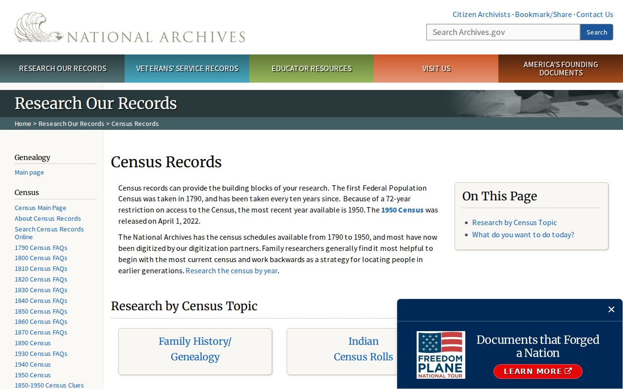
Census evidence can confirm a past household, while a modern ZIP only locates today's delivery area. Keep the two roles separate and cite the exact census year, place, and schedule.
Vestavia Hills Records Outlast ZIPs
Parcel identifiers and legal descriptions are more stable than postal labels. Jefferson property search accepts the owner, parcel number, mailing address, property address, and tax year. Shelby parcel data can carry lot and block, map book and page, subdivision, acreage, municipality code, parent parcel, and instrument number. Alabama guidance also notes that a split parcel generally retains the old identifier with a decimal suffix.
| Search clue | Best use | Limit |
|---|---|---|
| ZIP | Narrow a broad postal area | Crosses city and county lines |
| Property address | Locate the physical parcel | May change with addressing |
| Mailing address | Find owner correspondence data | May be outside Vestavia Hills |
| Parcel number | Connect tax and GIS records | Can change after a split |
| Legal description | Bridge deeds across old labels | Requires careful transcription |
When a postal lookup conflicts with a city name, begin with USPS, then GIS, then the parcel record. For an older trail, carry the legal description into the county deed index. That chain keeps the search anchored even as Vestavia Hills grows and postal labels shift.